Our "Landform+" range is only available in England and Wales and is almost identical to the "Landform" range. In addition to the features shown in the "Landform" range we have included areas of Access Land on the map. These are shown in the familiar outdoor map style of a yellow tint over the map. In Scotland the access situation does not necessitate the existance of Access Land and therefore there is nothing for us to show.
Landform+
-
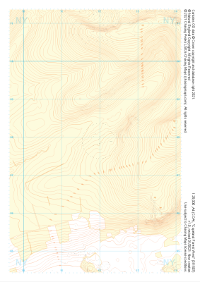 "Copeland Forest West" Landform+£4.99
1:25,000 scale map covering Copeland Forest West in the Lake District (approx. center NY119079).
Learn More -
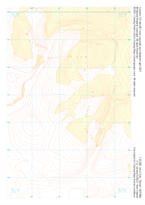 "Stords" Landform+£4.99
1:25,000 scale map covering Stords in the Lake District (approx. center NY073067).
Learn More -
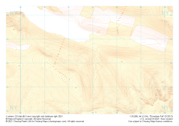 "Ennerdale Fell" Landform+£4.99
1:25,000 scale map covering Ennerdale Fell in the Lake District (approx. center NY129131).
Learn More -
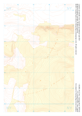 "Lankrigg Moss" Landform+£4.99
1:25,000 scale map covering Lankrigg Moss in the Lake District (approx. center NY073129).
Learn More -
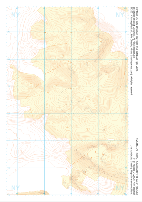 "Loweswater Fell West" Landform+£4.99
1:25,000 scale map covering Loweswater Fell West in the Lake District (approx. center NY109185).
Learn More -
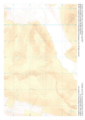 "Loweswater Fell East" Landform+£4.99
1:25,000 scale map covering Loweswater Fell East in the Lake District (approx. center NY147178).
Learn More -
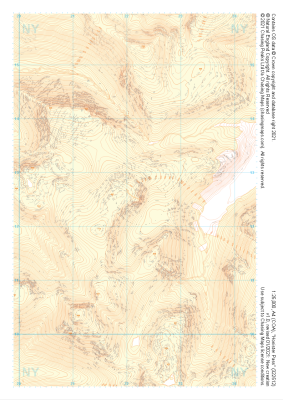 "Honister Pass" Landform+£4.99
1:25,000 scale map covering Honister Pass in the Lake District (approx. center NY221125).
Learn More -
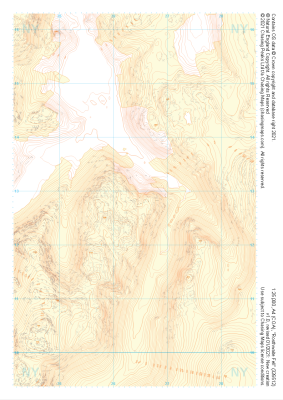 "Rosthwaite Fell" Landform+£4.99
1:25,000 scale map covering Rosthwaite Fell in the Lake District (approx. center NY264128).
Learn More -
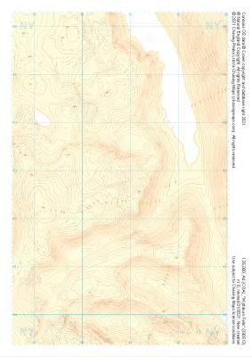 "Wythburn Fells" Landform+£4.99
1:25,000 scale map covering Wythburn Fells in the Lake District (approx. center NY308128).
Learn More -
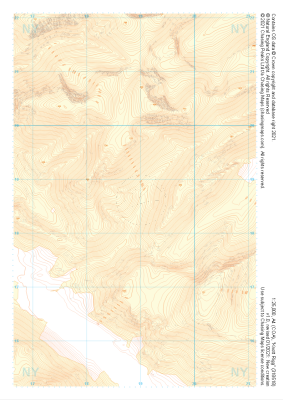 "Knott Rigg" Landform+£4.99
1:25,000 scale map covering Knott Rigg in the Lake District (approx. center NY189186).
Learn More
