Our "Landform+" range is only available in England and Wales and is almost identical to the "Landform" range. In addition to the features shown in the "Landform" range we have included areas of Access Land on the map. These are shown in the familiar outdoor map style of a yellow tint over the map. In Scotland the access situation does not necessitate the existance of Access Land and therefore there is nothing for us to show.
Landform+
-
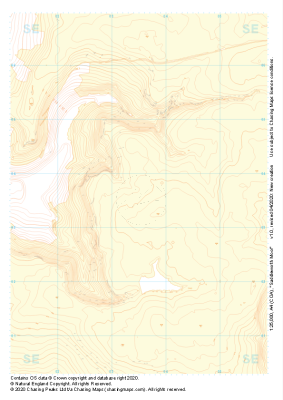 "Saddleworth Moor" Landform+£4.99
1:25,000 scale map covering Saddleworth Moor in the Peak District (approx. center SE035035).
Learn More -
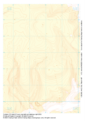 "Black Hill" Landform+£4.99
1:25,000 scale map covering Black Hill in the Peak District (approx. center SE078025).
Learn More -
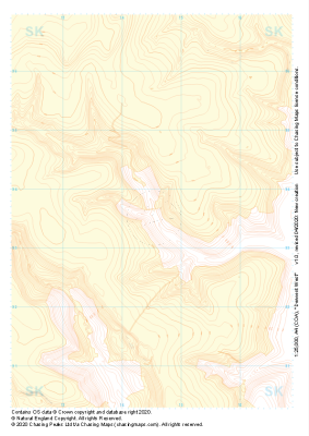 "Derwent West" Landform+£4.99
1:25,000 scale map covering Derwent West in the Peak District (approx. center SK145935).
Learn More -
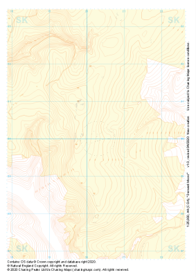 "Derwent Moors" Landform+£4.99
1:25,000 scale map covering Derwent Moors in the Peak District (approx. center SK203900).
Learn More -
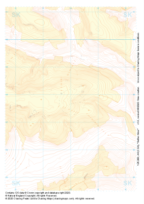 "Nether Moor" Landform+£4.99
1:25,000 scale map covering Nether Moor in the Peak District (approx. center SK140877).
Learn More -
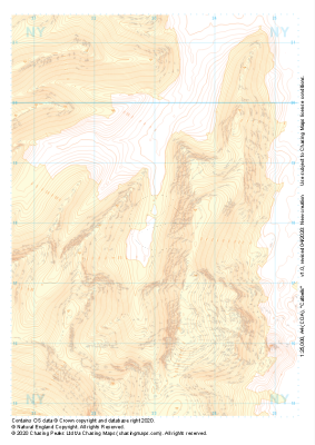 "Catbells" Landform+£4.99
1:25,000 scale map covering Catbells in the Lake District (approx. center NY230180).
Learn More -
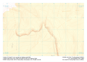 "Fan Brycheiniog" Landform+£4.99
1:25,000 scale map covering Fan Brycheiniog in the South Wales (approx. center SN821219).
Learn More -
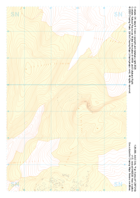 "Fan Gyhirych" Landform+£4.99
1:25,000 scale map covering Fan Gyhirych in the South Wales (approx. center SN876193).
Learn More -
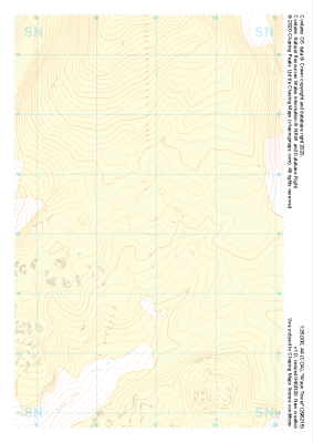 "Waun Tincer" Landform+£4.99
1:25,000 scale map covering Waun Tincer in the South Wales (approx. center SN969151).
Learn More -
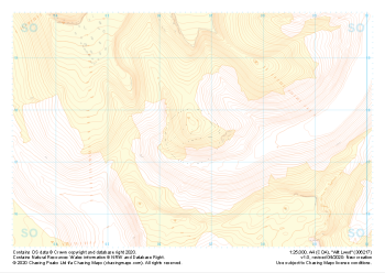 "Allt Lwyd" Landform+£4.99
1:25,000 scale map covering Allt Lwyd in the South Wales (approx. center SO066175).
Learn More
