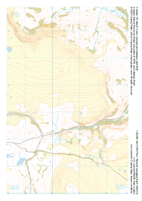
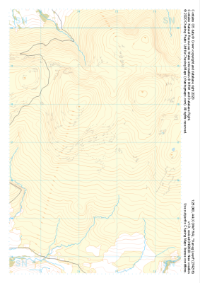
Our "Major Hazards" map contains the "full works" of features we have identified as suitable to put land forms into context. Showing you contours at 5m or 10m intervals, rocky features, major streams, woodland, major roads and railway lines, this map removes a lot of the "distracting clutter" found on more detailed maps. While we always recommend carrying a standard walking map as backup, this series is a perfect introduction to navigation by natural features.
Major Hazards
-
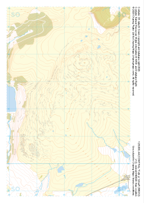
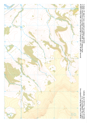
 "Mynydd Llangatwg East" Major Hazards£4.99
1:25,000 scale map covering Mynydd Llangatwg East in the South Wales (approx. center SO206133).
Learn More -
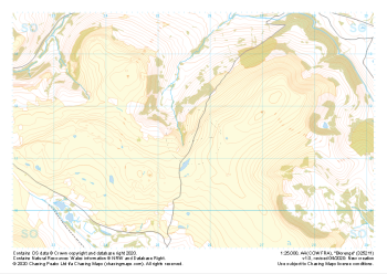
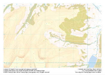 "Bryn" Major Hazards£4.99
1:25,000 scale map covering Bryn in the South Wales (approx. center SO075218).
Learn More -
 "Garreg Lwyd" Major Hazards£4.99
1:25,000 scale map covering Garreg Lwyd in the South Wales (approx. center SN744169).
Learn More -
 "Blorenge" Major Hazards£4.99
1:25,000 scale map covering Blorenge in the South Wales (approx. center SO257114).
Learn More -
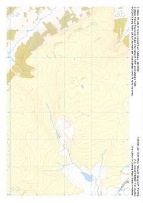
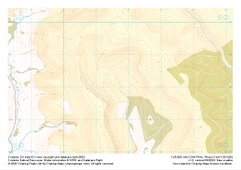 "Waun Fach" Major Hazards£4.99
1:25,000 scale map covering Waun Fach in the South Wales (approx. center SO217281).
Learn More -
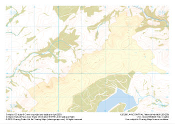 "Mynydd Myddfai" Major Hazards£4.99
1:25,000 scale map covering Mynydd Myddfai in the South Wales (approx. center SN812305).
Learn More -
 "Rhos Dringarth" Major Hazards£4.99
1:25,000 scale map covering Rhos Dringarth in the South Wales (approx. center SN962210).
Learn More -
 "Cefn yr Ystrad" Major Hazards£4.99
1:25,000 scale map covering Cefn yr Ystrad in the South Wales (approx. center SO082121).
Learn More -
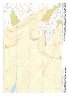
 "Twmpa" Major Hazards£4.99
1:25,000 scale map covering Twmpa in the South Wales (approx. center SO212367).
Learn More -
 "Mynydd Llangynidr" Major Hazards£4.99
1:25,000 scale map covering Mynydd Llangynidr in the South Wales (approx. center SO121143).
Learn More