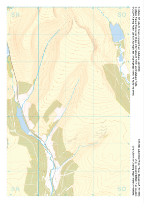
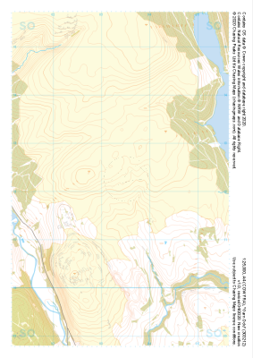
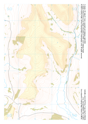
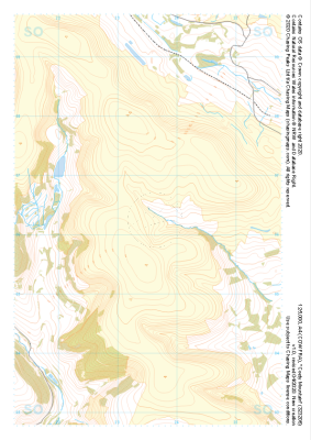
Our "Major Hazards" map contains the "full works" of features we have identified as suitable to put land forms into context. Showing you contours at 5m or 10m intervals, rocky features, major streams, woodland, major roads and railway lines, this map removes a lot of the "distracting clutter" found on more detailed maps. While we always recommend carrying a standard walking map as backup, this series is a perfect introduction to navigation by natural features.
Major Hazards
-
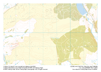 "Mynydd-y-glog" Major Hazards£4.99
1:25,000 scale map covering Mynydd-y-glog in the South Wales (approx. center SN985098).
Learn More -
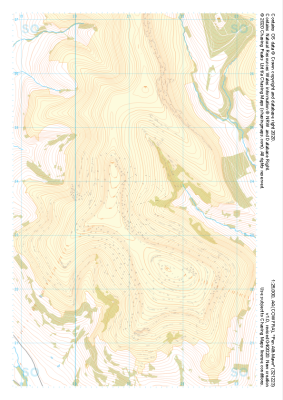 "Pen Allt-Mawr" Major Hazards£4.99
1:25,000 scale map covering Pen Allt-Mawr in the South Wales (approx. center SO211235).
Learn More -
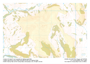 "Sugar Loaf" Major Hazards£4.99
1:25,000 scale map covering Sugar Loaf in the South Wales (approx. center SO275183).
Learn More -
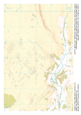 "Cribarth" Major Hazards£4.99
1:25,000 scale map covering Cribarth in the South Wales (approx. center SN832169).
Learn More -
 "Twyn Mwyalchod" Major Hazards£4.99
1:25,000 scale map covering Twyn Mwyalchod in the South Wales (approx. center SO011164).
Learn More -
 "Garn Ddu" Major Hazards£4.99
1:25,000 scale map covering Garn Ddu in the South Wales (approx. center SO034121).
Learn More -
 "Cefn Moel" Major Hazards£4.99
1:25,000 scale map covering Cefn Moel in the South Wales (approx. center SO164244).
Learn More -
 "Coety Mountain" Major Hazards£4.99
1:25,000 scale map covering Coety Mountain in the South Wales (approx. center SO235061).
Learn More -
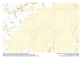 "Tair Carn Uchaf" Major Hazards£4.99
1:25,000 scale map covering Tair Carn Uchaf in the South Wales (approx. center SN688172).
Learn More -
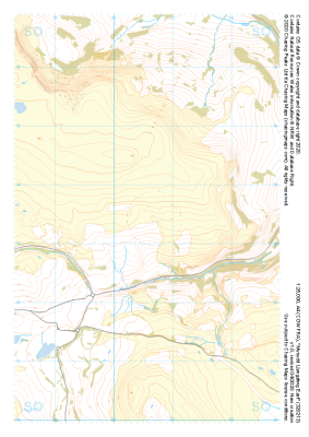 "Mynydd Llangatwg East" Major Hazards£4.99
1:25,000 scale map covering Mynydd Llangatwg East in the South Wales (approx. center SO206133).
Learn More