Our "Major Hazards" map contains the "full works" of features we have identified as suitable to put land forms into context. Showing you contours at 5m or 10m intervals, rocky features, major streams, woodland, major roads and railway lines, this map removes a lot of the "distracting clutter" found on more detailed maps. While we always recommend carrying a standard walking map as backup, this series is a perfect introduction to navigation by natural features.
Major Hazards
-
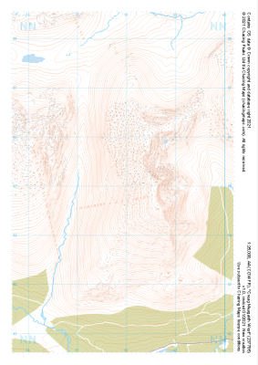 "Creag Meagaidh West" Major Hazards£4.99
1:25,000 scale map covering Creag Meagaidh West in the Scottish Highlands (approx. center NN379851).
Learn More -
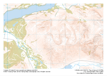
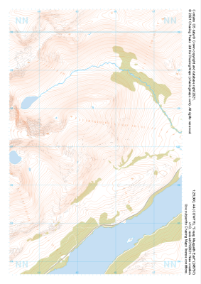 "Creag Meagaidh East" Major Hazards£4.99
1:25,000 scale map covering Creag Meagaidh East in the Scottish Highlands (approx. center NN455871).
Learn More -
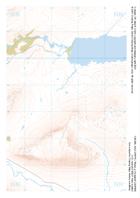
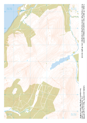 "Beinn na Gucaig" Major Hazards£4.99
1:25,000 scale map covering Beinn na Gucaig in the Scottish Highlands (approx. center NN077660).
Learn More -
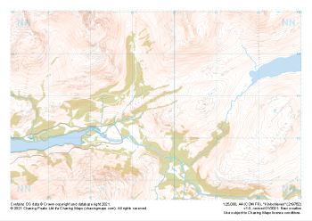 "Kinlochleven" Major Hazards£4.99
1:25,000 scale map covering Kinlochleven in the Scottish Highlands (approx. center NN196628).
Learn More -
 "Pap of Glencoe" Major Hazards£4.99
1:25,000 scale map covering Pap of Glencoe in the Scottish Highlands (approx. center NN132589).
Learn More -
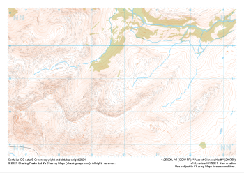 "Pass of Glencoe North" Major Hazards£4.99
1:25,000 scale map covering Pass of Glencoe North in the Scottish Highlands (approx. center NN199589).
Learn More -
 "Beinn a Chrulaiste" Major Hazards£4.99
1:25,000 scale map covering Beinn a Chrulaiste in the Scottish Highlands (approx. center NN246585).
Learn More -
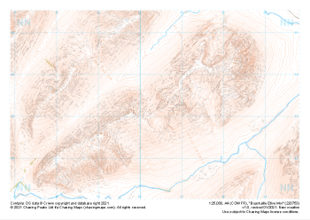 "Buachaille Etive Mor" Major Hazards£4.99
1:25,000 scale map covering Buachaille Etive Mor in the Scottish Highlands (approx. center NN204533).
Learn More -
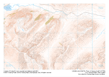 "Pass of Glencoe South" Major Hazards£4.99
1:25,000 scale map covering Pass of Glencoe South in the Scottish Highlands (approx. center NN174547).
Learn More -
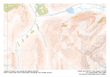 "Fionn Ghleann" Major Hazards£4.99
1:25,000 scale map covering Fionn Ghleann in the Scottish Highlands (approx. center NN132549).
Learn More