Our "Major Hazards" map contains the "full works" of features we have identified as suitable to put land forms into context. Showing you contours at 5m or 10m intervals, rocky features, major streams, woodland, major roads and railway lines, this map removes a lot of the "distracting clutter" found on more detailed maps. While we always recommend carrying a standard walking map as backup, this series is a perfect introduction to navigation by natural features.
Major Hazards
-
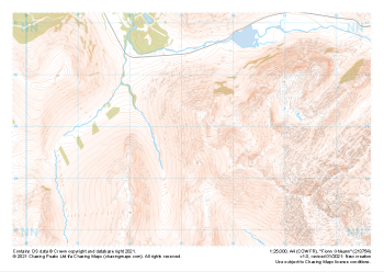 "Fionn Ghleann" Major Hazards£4.99
1:25,000 scale map covering Fionn Ghleann in the Scottish Highlands (approx. center NN132549).
Learn More -
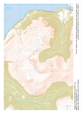 "Ballachulish SW" Major Hazards£4.99
1:25,000 scale map covering Ballachulish SW in the Scottish Highlands (approx. center NN032566).
Learn More -
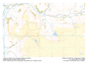 "Cowpe Moss" Major Hazards£4.99
1:25,000 scale map covering Cowpe Moss in the Midlands (approx. center SD833205).
Learn More -
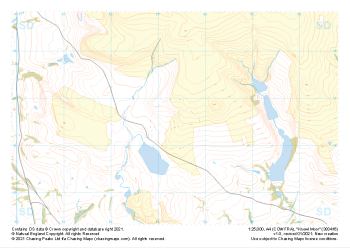 "Knowl Moor" Major Hazards£4.99
1:25,000 scale map covering Knowl Moor in the Midlands (approx. center SD834166).
Learn More -
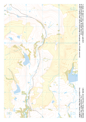 "Whitworth" Major Hazards£4.99
1:25,000 scale map covering Whitworth in the Midlands (approx. center SD889189).
Learn More -
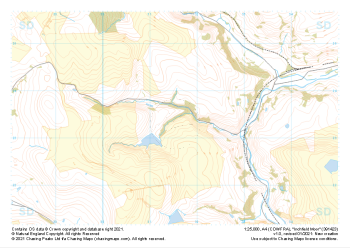 "Inchfield Moor" Major Hazards£4.99
1:25,000 scale map covering Inchfield Moor in the Midlands (approx. center SD915234).
Learn More -
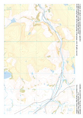 "Shore Moor" Major Hazards£4.99
1:25,000 scale map covering Shore Moor in the Midlands (approx. center SD932189).
Learn More -
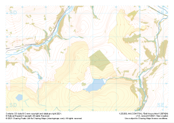 "Bell House Moor" Major Hazards£4.99
1:25,000 scale map covering Bell House Moor in the Midlands (approx. center SD977241).
Learn More -
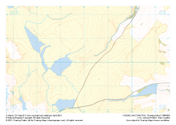 "Sowland Moor" Major Hazards£4.99
1:25,000 scale map covering Sowland Moor in the Midlands (approx. center SD982201).
Learn More -
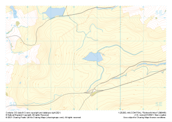 "Rishworth Moor" Major Hazards£4.99
1:25,000 scale map covering Rishworth Moor in the Midlands (approx. center SD985163).
Learn More
