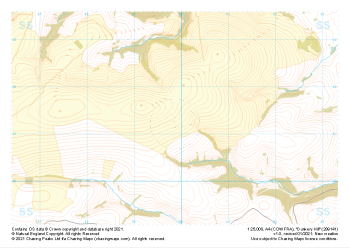
Our "Major Hazards" map contains the "full works" of features we have identified as suitable to put land forms into context. Showing you contours at 5m or 10m intervals, rocky features, major streams, woodland, major roads and railway lines, this map removes a lot of the "distracting clutter" found on more detailed maps. While we always recommend carrying a standard walking map as backup, this series is a perfect introduction to navigation by natural features.
Major Hazards
-
 "Dunkery Hill" Major Hazards£4.99
1:25,000 scale map covering Dunkery Hill in the South West (approx. center SS899413).
Learn More -
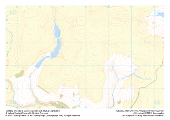 "Wadsworth Moor" Major Hazards£4.99
1:25,000 scale map covering Wadsworth Moor in the Midlands (approx. center SD980334).
Learn More -
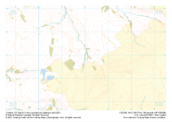
 "Ley Hill" Major Hazards£4.99
1:25,000 scale map covering Ley Hill in the South West (approx. center SS899452).
Learn More -
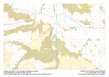
 "Boulsworth Hill" Major Hazards£4.99
1:25,000 scale map covering Boulsworth Hill in the Midlands (approx. center SD920369).
Learn More -
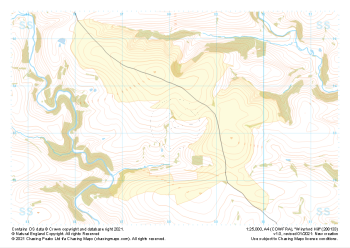
 "Withypool Common" Major Hazards£4.99
1:25,000 scale map covering Withypool Common in the South West (approx. center SS823351).
Learn More -
 "Simonsbath" Major Hazards£4.99
1:25,000 scale map covering Simonsbath in the South West (approx. center SS776366).
Learn More -
 "Winsford Hill" Major Hazards£4.99
1:25,000 scale map covering Winsford Hill in the South West (approx. center SS881333).
Learn More -
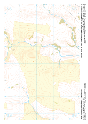
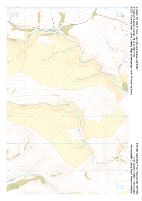
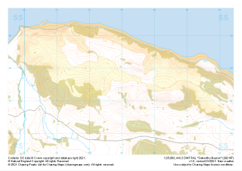 "Selworthy Beacon" Major Hazards£4.99
1:25,000 scale map covering Selworthy Beacon in the South West (approx. center SS930476).
Learn More -
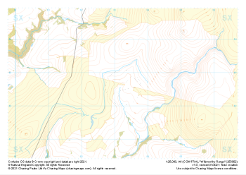 "Willsworthy Range" Major Hazards£4.99
1:25,000 scale map covering Willsworthy Range in the Dartmoor (approx. center SX532827).
Learn More -
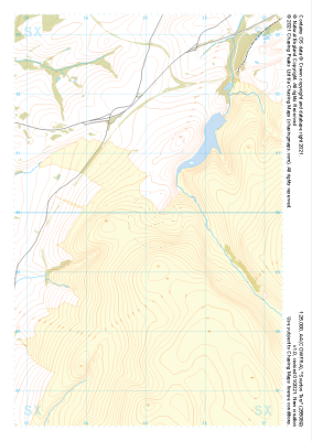 "Sourton Tors" Major Hazards£4.99
1:25,000 scale map covering Sourton Tors in the Dartmoor (approx. center SX550899).
Learn More