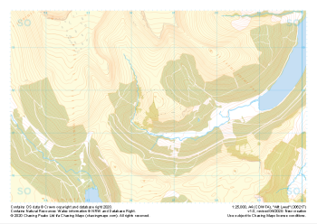
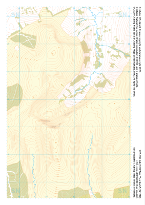
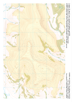
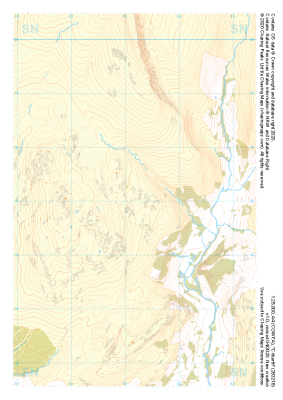
Our "Natural Features" maps show the landforms (contours and rocky areas) in context of larger streams and forests. By providing a little more detail than our "Landform" or "Contour Only" range, these maps are slightly easier to use and especially good for teaching navigation by contours and land forms to those with limited experience in this area. This series also includes Access Land in England and Wales, as well as the customary national grid overlay to allow for effective bearing and grid reference work.
Natural Features
-
 "Allt Lwyd" Natural Features£4.99
1:25,000 scale map covering Allt Lwyd in the South Wales (approx. center SO066175).
Learn More -
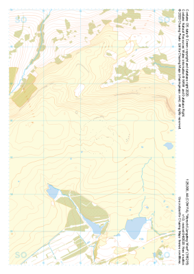
 "Mynydd Troed" Natural Features£4.99
1:25,000 scale map covering Mynydd Troed in the South Wales (approx. center SO164273).
Learn More -
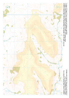
 "Mynydd Llangatwg West" Natural Features£4.99
1:25,000 scale map covering Mynydd Llangatwg West in the South Wales (approx. center SO163154).
Learn More -
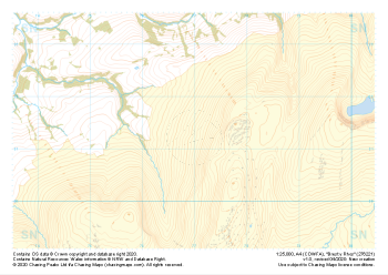 "Brest y Rhos" Natural Features£4.99
1:25,000 scale map covering Brest y Rhos in the South Wales (approx. center SN770212).
Learn More -
 "Fan Nedd" Natural Features£4.99
1:25,000 scale map covering Fan Nedd in the South Wales (approx. center SN918198).
Learn More -
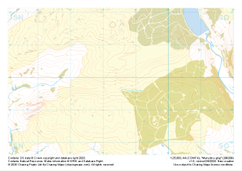 "Mynydd-y-glog" Natural Features£4.99
1:25,000 scale map covering Mynydd-y-glog in the South Wales (approx. center SN985098).
Learn More -
 "Pen Allt-Mawr" Natural Features£4.99
1:25,000 scale map covering Pen Allt-Mawr in the South Wales (approx. center SO211235).
Learn More -
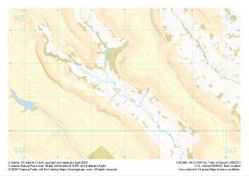 "Vale of Ewyas" Natural Features£4.99
1:25,000 scale map covering Vale of Ewyas in the South Wales (approx. center SO260313).
Learn More -
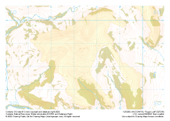 "Sugar Loaf" Natural Features£4.99
1:25,000 scale map covering Sugar Loaf in the South Wales (approx. center SO275183).
Learn More -
 "Cribarth" Natural Features£4.99
1:25,000 scale map covering Cribarth in the South Wales (approx. center SN832169).
Learn More