Our "Landform" maps show you the contours with some rocky detail thrown in. This map is particularly suited to navigating by contours in mountaineous areas where cliffs and rocky outcrops can present serious hazards. Alongside 5m or 10m contours and rocky features, the map features tidal lines (effectively the 0m contour), height labels and a national grid overlay to aid the use of bearings and grid references.
Landform
-
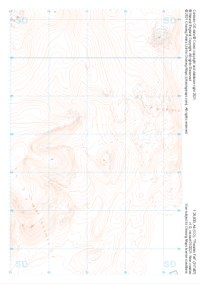
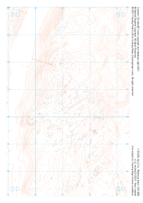
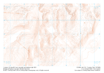 "Coniston Fells" Landform£4.99
1:25,000 scale map covering Coniston Fells in the Lake District (approx. center SD280989).
Learn More -
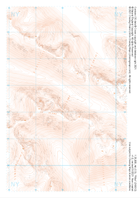
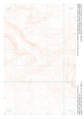 "Roundthwaite Common" Landform£4.99
1:25,000 scale map covering Roundthwaite Common in the Lake District (approx. center NY585014).
Learn More -
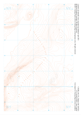 "Barton Fell" Landform£4.99
1:25,000 scale map covering Barton Fell in the Lake District (approx. center NY473219).
Learn More -
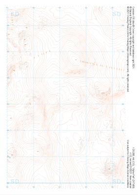 "Ulpha Fell" Landform£4.99
1:25,000 scale map covering Ulpha Fell in the Lake District (approx. center SD172933).
Learn More -
 "Thwaites Fell" Landform£4.99
1:25,000 scale map covering Thwaites Fell in the Lake District (approx. center SD172878).
Learn More -
 "Pillar" Landform£4.99
1:25,000 scale map covering Pillar in the Lake District (approx. center NY182125).
Learn More -
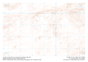
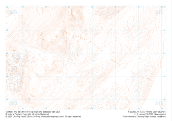 "Walna Scar" Landform£4.99
1:25,000 scale map covering Walna Scar in the Lake District (approx. center SD267948).
Learn More -
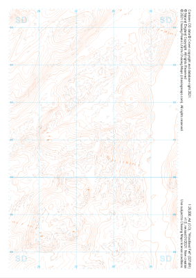 "Woodland Fell" Landform£4.99
1:25,000 scale map covering Woodland Fell in the Lake District (approx. center SD275910).
Learn More -
 "Bethecar Moor" Landform£4.99
1:25,000 scale map covering Bethecar Moor in the Lake District (approx. center SD312906).
Learn More -
 "Birker Fell" Landform£4.99
1:25,000 scale map covering Birker Fell in the Lake District (approx. center SD190986).
Learn More