Our "Major Hazards" map contains the "full works" of features we have identified as suitable to put land forms into context. Showing you contours at 5m or 10m intervals, rocky features, major streams, woodland, major roads and railway lines, this map removes a lot of the "distracting clutter" found on more detailed maps. While we always recommend carrying a standard walking map as backup, this series is a perfect introduction to navigation by natural features.
Major Hazards
-
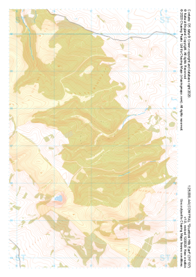
 "Goathland" Major Hazards£4.99
1:25,000 scale map covering Goathland in the North Yorkshire (approx. center NZ844023).
Learn More -
 "Dalby Forest" Major Hazards£4.99
1:25,000 scale map covering Dalby Forest in the North Yorkshire (approx. center SE874893).
Learn More -
 "Gellifor" Major Hazards£4.99
1:25,000 scale map covering Gellifor in the North Wales (approx. center SJ123635).
Learn More -
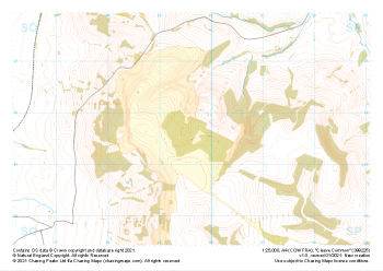
 "Quantock Hills West" Major Hazards£4.99
1:25,000 scale map covering Quantock Hills West in the South West (approx. center ST134395).
Learn More -
 "Quantock Hills East" Major Hazards£4.99
1:25,000 scale map covering Quantock Hills East in the South West (approx. center ST171372).
Learn More -
 "Cleeve Common" Major Hazards£4.99
1:25,000 scale map covering Cleeve Common in the South West (approx. center SO996257).
Learn More -
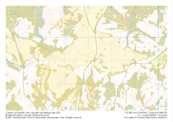 "Camp Hill" Major Hazards£4.99
1:25,000 scale map covering Camp Hill in the South East (approx. center TQ469290).
Learn More -
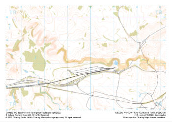 "Eurotunnel Terminal" Major Hazards£4.99
1:25,000 scale map covering Eurotunnel Terminal in the South East (approx. center TR198382).
Learn More -
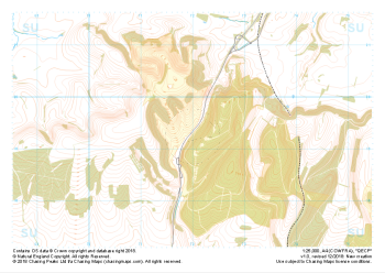 "QECP" Major Hazards£4.99
1:25,000 scale map covering QECP in the South Downs (approx. center SU720192).
Learn More -
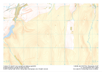 "Okehampton North" Major Hazards£4.99
1:25,000 scale map covering the North section of Dartmoor's Okehampton Range (approx. center SX589908).
The North section of Dartmoor's Okehampton Range, the largest of the Dartmoor live firing ranges. Spanning 11km by 8km the Okehampton training area offers a perfect mix of established paths, granite tors, rolling hills, bumbling streams, ancient structures and (away from the paths) blissful quiet. Coupled with some of the most challenging, largely "featureless" navigation terrain around, the ranges have been known to test the most seasoned navigators' toolboxes.
Live firing and exercise times are published by the MoD and a quick search for "Dartmoor firing times" should form part of your planning in this area. On the ground red flags by day and red lights at night will show the range is being used for live firing and it is in your best interest to not cross and indeed steer well clear of the line of red and white marker posts.
Learn More