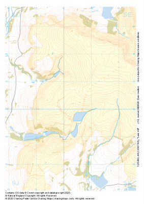
Our "Major Hazards" map contains the "full works" of features we have identified as suitable to put land forms into context. Showing you contours at 5m or 10m intervals, rocky features, major streams, woodland, major roads and railway lines, this map removes a lot of the "distracting clutter" found on more detailed maps. While we always recommend carrying a standard walking map as backup, this series is a perfect introduction to navigation by natural features.
Major Hazards
-
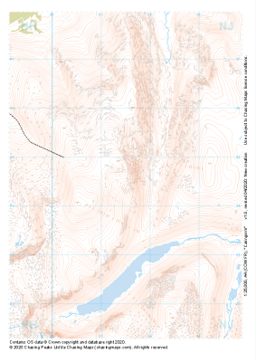 "Cairngorm" Major Hazards£4.99
1:25,000 scale map covering Cairngorm in the Scottish Highlands (approx. center NJ015045).
Learn More -
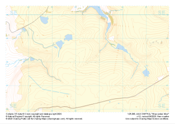 "Wessenden Moor" Major Hazards£4.99
1:25,000 scale map covering Wessenden Moor in the Peak District (approx. center SE045080).
Learn More -
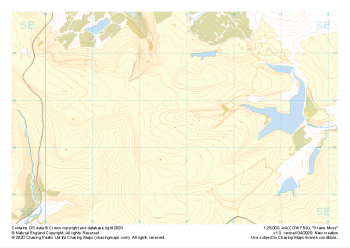 "Grains Moss" Major Hazards£4.99
1:25,000 scale map covering Grains Moss in the Peak District (approx. center SE128025).
Learn More -
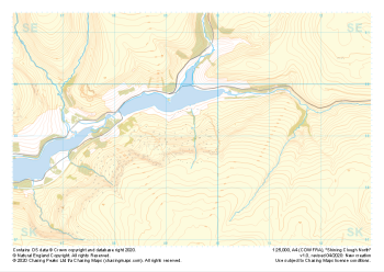 "Shining Clough North" Major Hazards£4.99
1:25,000 scale map covering Shining Clough North in the Peak District (approx. center SK095990).
Learn More -
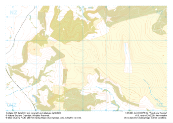 "Roseberry Topping" Major Hazards£4.99
1:25,000 scale map covering Roseberry Topping in the Yorkshire Dales (approx. center NZ602121).
Learn More -
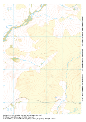 "Princetown North" Major Hazards£4.99
1:25,000 scale map covering Princetown North in the Dartmoor (approx. center SX538775).
Learn More -
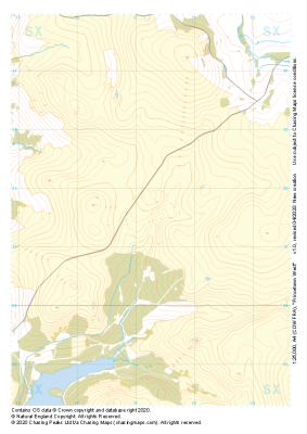 "Princetown West" Major Hazards£4.99
1:25,000 scale map covering Princetown West in the Dartmoor (approx. center SX573715).
Learn More -
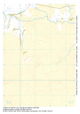 "Princetown East" Major Hazards£4.99
1:25,000 scale map covering Princetown East in the Dartmoor (approx. center SX613715).
Learn More -
 "Lees Hill" Major Hazards£4.99
1:25,000 scale map covering Lees Hill in the Peak District (approx. center SE003003).
Learn More -
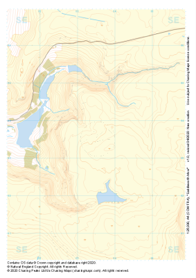 "Saddleworth Moor" Major Hazards£4.99
1:25,000 scale map covering Saddleworth Moor in the Peak District (approx. center SE035035).
Learn More