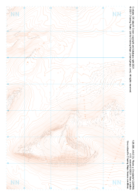
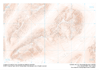
Our "Landform" maps show you the contours with some rocky detail thrown in. This map is particularly suited to navigating by contours in mountaineous areas where cliffs and rocky outcrops can present serious hazards. Alongside 5m or 10m contours and rocky features, the map features tidal lines (effectively the 0m contour), height labels and a national grid overlay to aid the use of bearings and grid references.
Landform
-
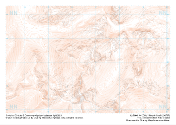 "Ring of Steall" Landform£4.99
1:25,000 scale map covering Ring of Steall in the Scottish Highlands (approx. center NN167671).
Learn More -
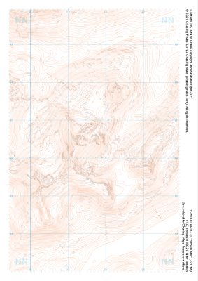
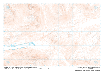
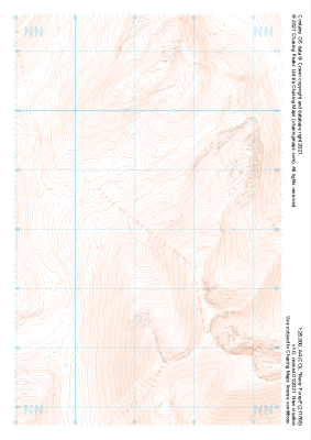 "Nevis Forest" Landform£4.99
1:25,000 scale map covering Nevis Forest in the Scottish Highlands (approx. center NN112682).
Learn More -
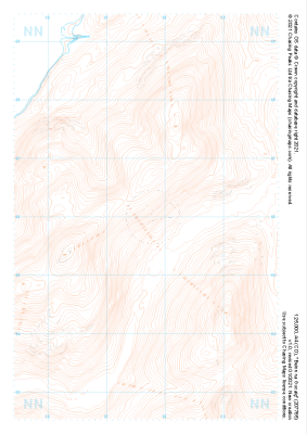 "Beinn na Gucaig" Landform£4.99
1:25,000 scale map covering Beinn na Gucaig in the Scottish Highlands (approx. center NN077660).
Learn More -
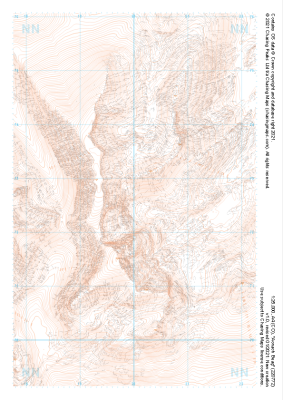 "Aonach Beag" Landform£4.99
1:25,000 scale map covering Aonach Beag in the Scottish Highlands (approx. center NN200726).
Learn More -
 "Binnein Mor" Landform£4.99
1:25,000 scale map covering Binnein Mor in the Scottish Highlands (approx. center NN217665).
Learn More -
 "Kinlochleven" Landform£4.99
1:25,000 scale map covering Kinlochleven in the Scottish Highlands (approx. center NN196628).
Learn More -
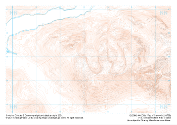 "Pap of Glencoe" Landform£4.99
1:25,000 scale map covering Pap of Glencoe in the Scottish Highlands (approx. center NN132589).
Learn More -
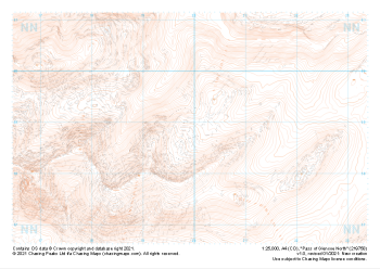 "Pass of Glencoe North" Landform£4.99
1:25,000 scale map covering Pass of Glencoe North in the Scottish Highlands (approx. center NN199589).
Learn More -
 "Beinn a Chrulaiste" Landform£4.99
1:25,000 scale map covering Beinn a Chrulaiste in the Scottish Highlands (approx. center NN246585).
Learn More -
 "Buachaille Etive Mor" Landform£4.99
1:25,000 scale map covering Buachaille Etive Mor in the Scottish Highlands (approx. center NN204533).
Learn More