Our "Landform" maps show you the contours with some rocky detail thrown in. This map is particularly suited to navigating by contours in mountaineous areas where cliffs and rocky outcrops can present serious hazards. Alongside 5m or 10m contours and rocky features, the map features tidal lines (effectively the 0m contour), height labels and a national grid overlay to aid the use of bearings and grid references.
Landform
-
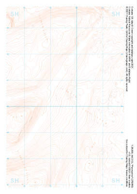 "Penmachno" Landform£4.99
1:25,000 scale map covering Penmachno in the North Wales (approx. center SH796504).
Learn More -
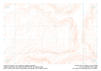 "Betws-y-coed" Landform£4.99
1:25,000 scale map covering Betws-y-coed in the North Wales (approx. center SH776554).
Learn More -
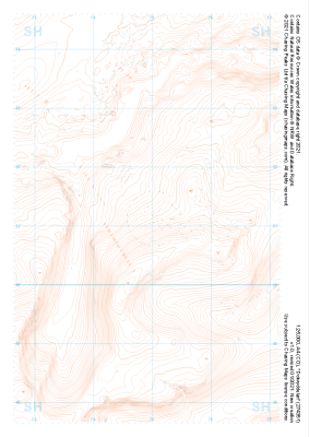 "Dolwyddelan" Landform£4.99
1:25,000 scale map covering Dolwyddelan in the North Wales (approx. center SH749511).
Learn More -
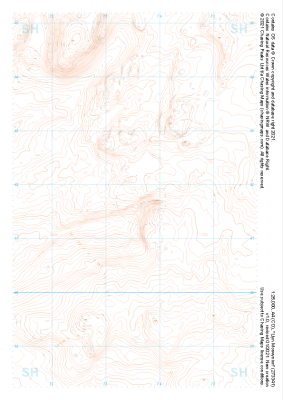 "Llyn Morwynion" Landform£4.99
1:25,000 scale map covering Llyn Morwynion in the North Wales (approx. center SH735417).
Learn More -
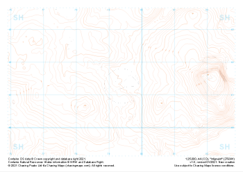 "Migneint" Landform£4.99
1:25,000 scale map covering Migneint in the North Wales (approx. center SH794414).
Learn More -
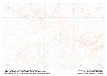 "Moel y Croesau" Landform£4.99
1:25,000 scale map covering Moel y Croesau in the North Wales (approx. center SH736377).
Learn More -
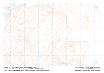 "Ceunant Llennyrch" Landform£4.99
1:25,000 scale map covering Ceunant Llennyrch in the North Wales (approx. center SH660375).
Learn More -
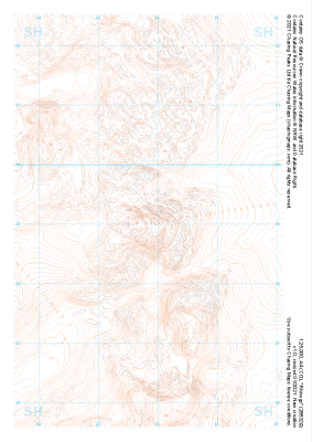
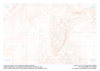 "Rhinogs North" Landform£4.99
1:25,000 scale map covering Rhinogs North in the North Wales (approx. center SH648339).
Learn More -
 "Rhinogs SW" Landform£4.99
1:25,000 scale map covering Rhinogs SW in the North Wales (approx. center SH637260).
Learn More -
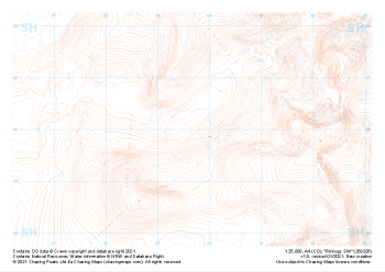
 "Rhinogs" Landform£4.99
1:25,000 scale map covering Rhinogs in the North Wales (approx. center SH658291).
Learn More