Our "Landform" maps show you the contours with some rocky detail thrown in. This map is particularly suited to navigating by contours in mountaineous areas where cliffs and rocky outcrops can present serious hazards. Alongside 5m or 10m contours and rocky features, the map features tidal lines (effectively the 0m contour), height labels and a national grid overlay to aid the use of bearings and grid references.
Landform
-
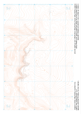 "Eglwyseg Mountain" Landform£4.99
1:25,000 scale map covering Eglwyseg Mountain in the North Wales (approx. center SJ233465).
Learn More -
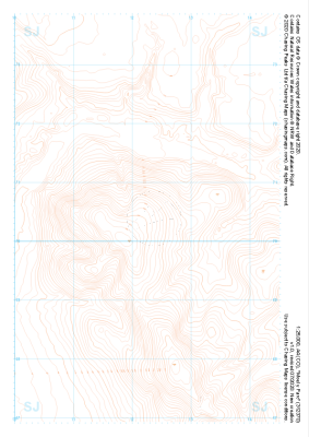 "Moel y Parc" Landform£4.99
1:25,000 scale map covering Moel y Parc in the North Wales (approx. center SJ123703).
Learn More -
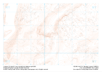 "Mardale Common" Landform£4.99
1:25,000 scale map covering Mardale Common in the Lake District (approx. center NY505113).
Learn More -
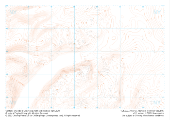 "Bampton Common" Landform£4.99
1:25,000 scale map covering Bampton Common in the Lake District (approx. center NY505158).
Learn More -
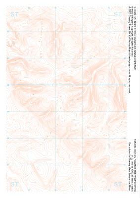 "Quantock Hills West" Landform£4.99
1:25,000 scale map covering Quantock Hills West in the South West (approx. center ST134395).
Learn More -
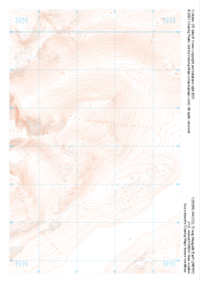
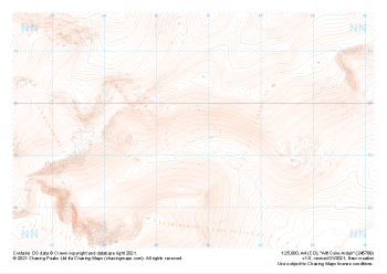 "Allt Coire Ardair" Landform£4.99
1:25,000 scale map covering Allt Coire Ardair in the Scottish Highlands (approx. center NN457895).
Learn More -
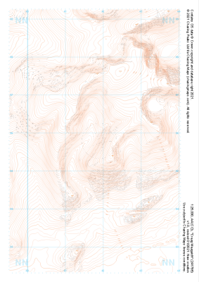 "Creag Meagaidh" Landform£4.99
1:25,000 scale map covering Creag Meagaidh in the Scottish Highlands (approx. center NN418858).
Learn More -
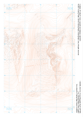 "Creag Meagaidh West" Landform£4.99
1:25,000 scale map covering Creag Meagaidh West in the Scottish Highlands (approx. center NN379851).
Learn More -
 "Creag Meagaidh East" Landform£4.99
1:25,000 scale map covering Creag Meagaidh East in the Scottish Highlands (approx. center NN455871).
Learn More -
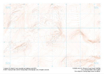 "Braeroy Forest South" Landform£4.99
1:25,000 scale map covering Braeroy Forest South in the Scottish Highlands (approx. center NN390895).
Learn More