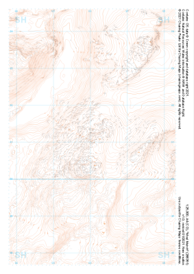
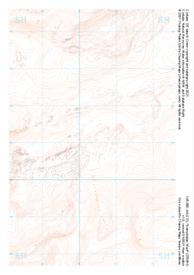
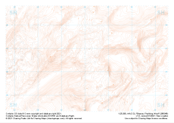
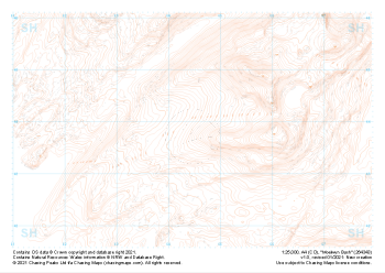
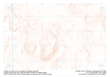
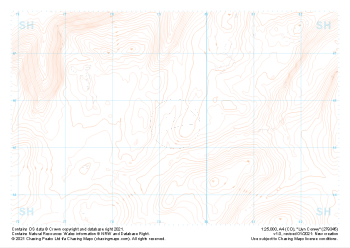
Our "Landform" maps show you the contours with some rocky detail thrown in. This map is particularly suited to navigating by contours in mountaineous areas where cliffs and rocky outcrops can present serious hazards. Alongside 5m or 10m contours and rocky features, the map features tidal lines (effectively the 0m contour), height labels and a national grid overlay to aid the use of bearings and grid references.
Landform
-
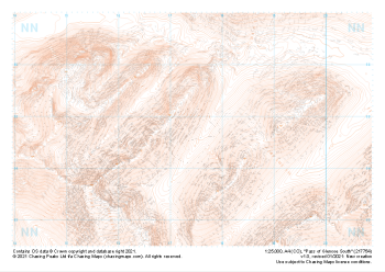 "Pass of Glencoe South" Landform£4.99
1:25,000 scale map covering Pass of Glencoe South in the Scottish Highlands (approx. center NN174547).
Learn More -
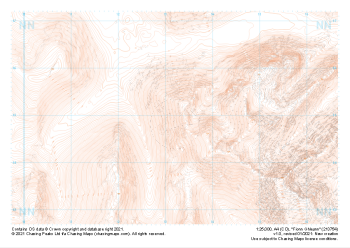 "Fionn Ghleann" Landform£4.99
1:25,000 scale map covering Fionn Ghleann in the Scottish Highlands (approx. center NN132549).
Learn More -
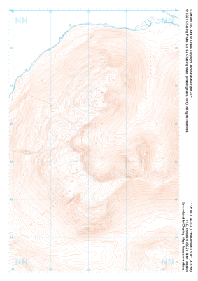 "Ballachulish SW" Landform£4.99
1:25,000 scale map covering Ballachulish SW in the Scottish Highlands (approx. center NN032566).
Learn More -
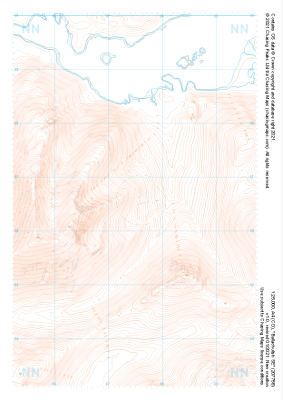 "Ballachulish SE" Landform£4.99
1:25,000 scale map covering Ballachulish SE in the Scottish Highlands (approx. center NN075566).
Learn More -
 "Moel Meirch" Landform£4.99
1:25,000 scale map covering Moel Meirch in the North Wales (approx. center SH661511).
Learn More -
 "Dolwyddelan West" Landform£4.99
1:25,000 scale map covering Dolwyddelan West in the North Wales (approx. center SH703511).
Learn More -
 "Blaenau Ffestiniog West" Landform£4.99
1:25,000 scale map covering Blaenau Ffestiniog West in the North Wales (approx. center SH661466).
Learn More -
 "Moelwyn Bach" Landform£4.99
1:25,000 scale map covering Moelwyn Bach in the North Wales (approx. center SH645438).
Learn More -
 "Blaenau Ffestiniog East" Landform£4.99
1:25,000 scale map covering Blaenau Ffestiniog East in the North Wales (approx. center SH729456).
Learn More -
 "Llyn Conwy" Landform£4.99
1:25,000 scale map covering Llyn Conwy in the North Wales (approx. center SH793456).
Learn More