Our "Landform" maps show you the contours with some rocky detail thrown in. This map is particularly suited to navigating by contours in mountaineous areas where cliffs and rocky outcrops can present serious hazards. Alongside 5m or 10m contours and rocky features, the map features tidal lines (effectively the 0m contour), height labels and a national grid overlay to aid the use of bearings and grid references.
Landform
-
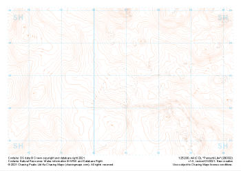
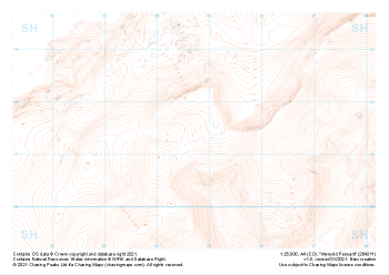 "Mynydd Pennant" Landform£4.99
1:25,000 scale map covering Mynydd Pennant in the North Wales (approx. center SH647114).
Learn More -
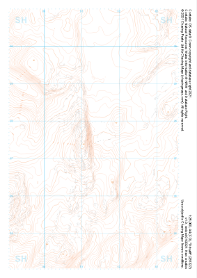
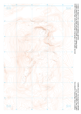 "Llyn Arenig Fawr" Landform£4.99
1:25,000 scale map covering Llyn Arenig Fawr in the North Wales (approx. center SH834367).
Learn More -
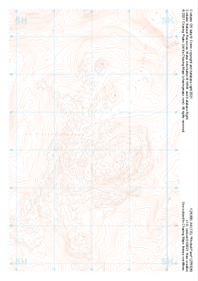
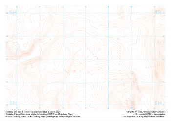 "Moel y Slates" Landform£4.99
1:25,000 scale map covering Moel y Slates in the North Wales (approx. center SH790371).
Learn More -
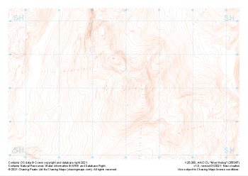
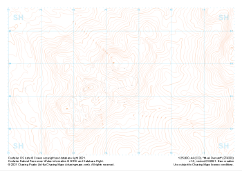 "Moel Oernant" Landform£4.99
1:25,000 scale map covering Moel Oernant in the North Wales (approx. center SH745335).
Learn More -
 "Pennant-Lliw" Landform£4.99
1:25,000 scale map covering Pennant-Lliw in the North Wales (approx. center SH808328).
Learn More -
 "Dduallt" Landform£4.99
1:25,000 scale map covering Dduallt in the North Wales (approx. center SH813275).
Learn More -
 "Rhobell Fawr" Landform£4.99
1:25,000 scale map covering Rhobell Fawr in the North Wales (approx. center SH781263).
Learn More -
 "Moel Hebog" Landform£4.99
1:25,000 scale map covering Moel Hebog in the North Wales (approx. center SH559471).
Learn More -
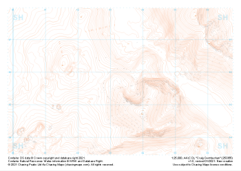 "Craig Cwmbychan" Landform£4.99
1:25,000 scale map covering Craig Cwmbychan in the North Wales (approx. center SH533557).
Learn More -
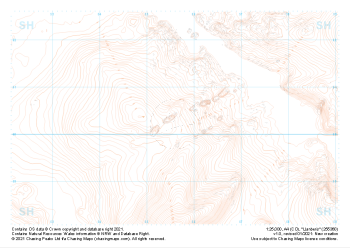 "Llanberis" Landform£4.99
1:25,000 scale map covering Llanberis in the North Wales (approx. center SH556603).
Learn More