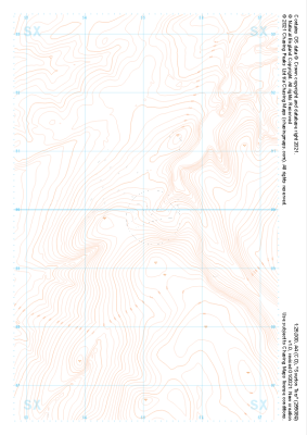
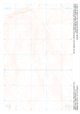
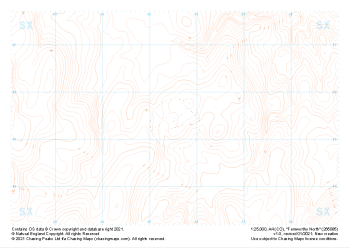
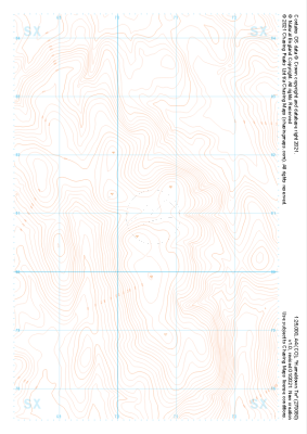
Our "Landform" maps show you the contours with some rocky detail thrown in. This map is particularly suited to navigating by contours in mountaineous areas where cliffs and rocky outcrops can present serious hazards. Alongside 5m or 10m contours and rocky features, the map features tidal lines (effectively the 0m contour), height labels and a national grid overlay to aid the use of bearings and grid references.
Landform
-
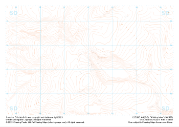 "Widdop Moor" Landform£4.99
1:25,000 scale map covering Widdop Moor in the Midlands (approx. center SD920334).
Learn More -
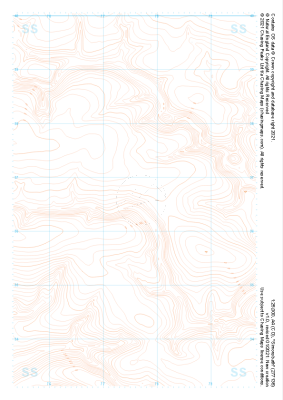 "Simonsbath" Landform£4.99
1:25,000 scale map covering Simonsbath in the South West (approx. center SS776366).
Learn More -
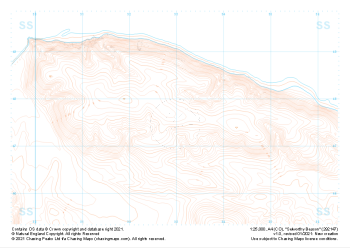 "Selworthy Beacon" Landform£4.99
1:25,000 scale map covering Selworthy Beacon in the South West (approx. center SS930476).
Learn More -
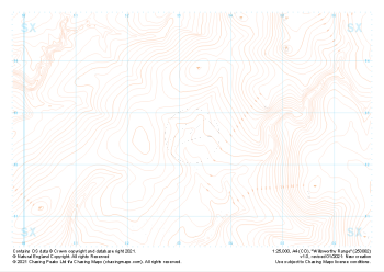 "Willsworthy Range" Landform£4.99
1:25,000 scale map covering Willsworthy Range in the Dartmoor (approx. center SX532827).
Learn More -
 "Sourton Tors" Landform£4.99
1:25,000 scale map covering Sourton Tors in the Dartmoor (approx. center SX550899).
Learn More -
 "Cosdon Hill" Landform£4.99
1:25,000 scale map covering Cosdon Hill in the Dartmoor (approx. center SX644908).
Learn More -
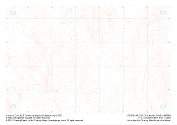
 "Fernworthy North" Landform£4.99
1:25,000 scale map covering Fernworthy North in the Dartmoor (approx. center SX655855).
Learn More -
 "Hameldown Tor" Landform£4.99
1:25,000 scale map covering Hameldown Tor in the Dartmoor (approx. center SX705809).
Learn More -
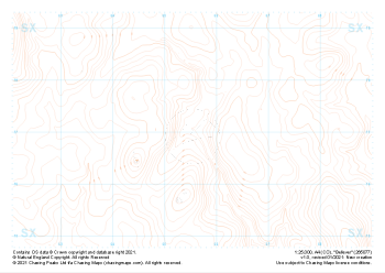
 "Fernworthy South" Landform£4.99
1:25,000 scale map covering Fernworthy South in the Dartmoor (approx. center SX655813).
Learn More -
 "Bellever" Landform£4.99
1:25,000 scale map covering Bellever in the Dartmoor (approx. center SX655770).
Learn More