Our "Landform" maps show you the contours with some rocky detail thrown in. This map is particularly suited to navigating by contours in mountaineous areas where cliffs and rocky outcrops can present serious hazards. Alongside 5m or 10m contours and rocky features, the map features tidal lines (effectively the 0m contour), height labels and a national grid overlay to aid the use of bearings and grid references.
Landform
-
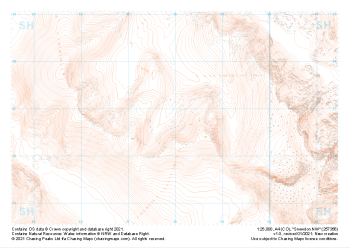 "Snowdon NW" Landform£4.99
1:25,000 scale map covering Snowdon NW in the North Wales (approx. center SH580568).
Learn More -
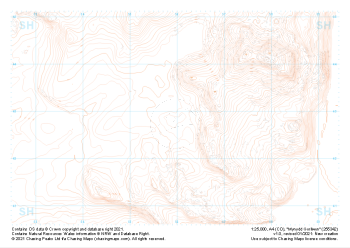 "Mynydd Gorllwyn" Landform£4.99
1:25,000 scale map covering Mynydd Gorllwyn in the North Wales (approx. center SH560429).
Learn More -
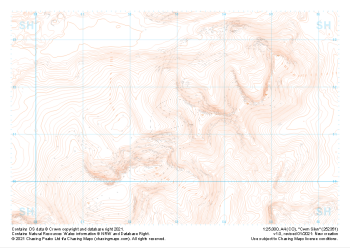 "Cwm Silyn" Landform£4.99
1:25,000 scale map covering Cwm Silyn in the North Wales (approx. center SH530513).
Learn More -
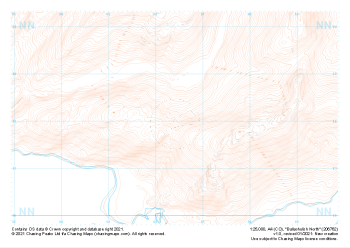 "Ballachulish North" Landform£4.99
1:25,000 scale map covering Ballachulish North in the Scottish Highlands (approx. center NN064621).
Learn More -
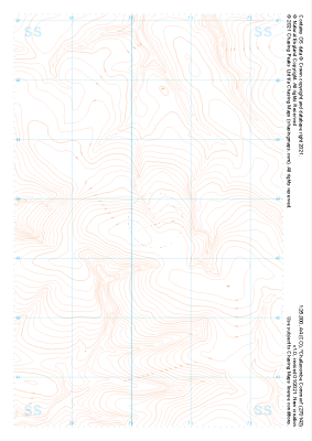 "Challacombe Common" Landform£4.99
1:25,000 scale map covering Challacombe Common in the South West (approx. center SS703436).
Learn More -
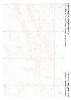 "Furzehill Common" Landform£4.99
1:25,000 scale map covering Furzehill Common in the South West (approx. center SS745436).
Learn More -
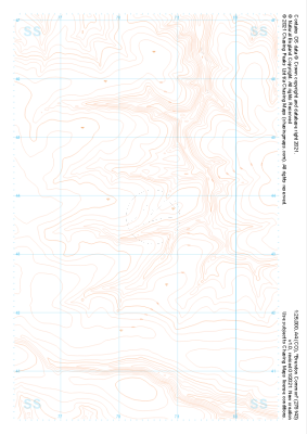 "Brendon Common" Landform£4.99
1:25,000 scale map covering Brendon Common in the South West (approx. center SS785436).
Learn More -
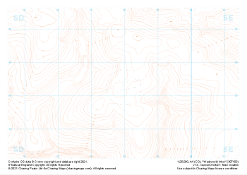 "Wadsworth Moor" Landform£4.99
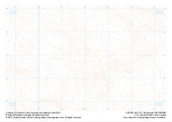
1:25,000 scale map covering Wadsworth Moor in the Midlands (approx. center SD980334).
Learn More -
 "Boulsworth Hill" Landform£4.99
1:25,000 scale map covering Boulsworth Hill in the Midlands (approx. center SD920369).
Learn More -
 "Withypool Common" Landform£4.99
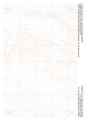
1:25,000 scale map covering Withypool Common in the South West (approx. center SS823351).
Learn More