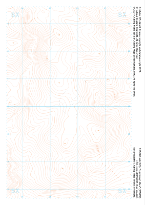
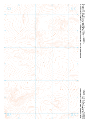
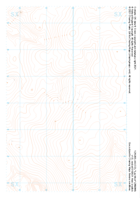
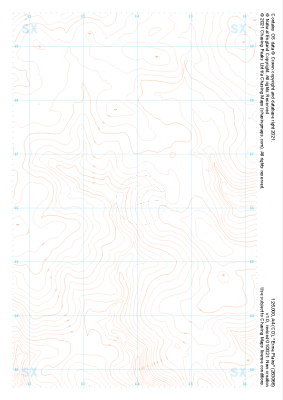
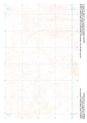
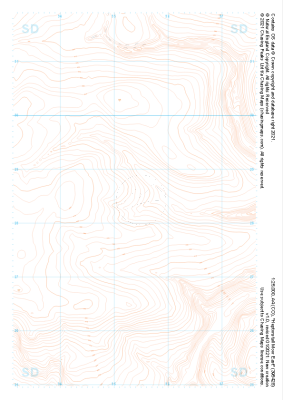
Our "Landform" maps show you the contours with some rocky detail thrown in. This map is particularly suited to navigating by contours in mountaineous areas where cliffs and rocky outcrops can present serious hazards. Alongside 5m or 10m contours and rocky features, the map features tidal lines (effectively the 0m contour), height labels and a national grid overlay to aid the use of bearings and grid references.
Landform
-
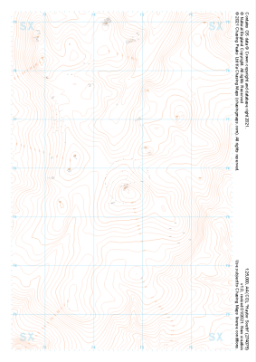 "Haytor South" Landform£4.99
1:25,000 scale map covering Haytor South in the Dartmoor (approx. center SX746757).
Learn More -
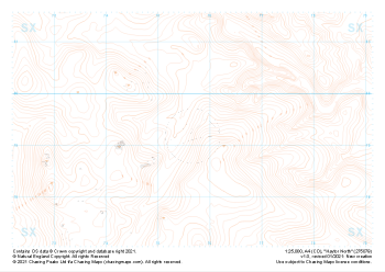 "Haytor North" Landform£4.99
1:25,000 scale map covering Haytor North in the Dartmoor (approx. center SX757793).
Learn More -
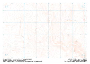 "Hexworthy" Landform£4.99
1:25,000 scale map covering Hexworthy in the Dartmoor (approx. center SX667734).
Learn More -
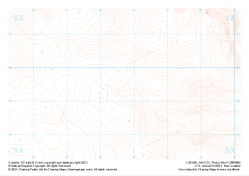 "Holne Moor" Landform£4.99
1:25,000 scale map covering Holne Moor in the Dartmoor (approx. center SX667695).
Learn More -
 "Ugborough Moor" Landform£4.99
1:25,000 scale map covering Ugborough Moor in the Dartmoor (approx. center SX657601).
Learn More -
 "Lynch Common" Landform£4.99
1:25,000 scale map covering Lynch Common in the Dartmoor (approx. center SX553661).
Learn More -
 "Lee Moor" Landform£4.99
1:25,000 scale map covering Lee Moor in the Dartmoor (approx. center SX598661).
Learn More -
 "Erme Plains" Landform£4.99
1:25,000 scale map covering Erme Plains in the Dartmoor (approx. center SX639661).
Learn More -
 "Dean Moor" Landform£4.99
1:25,000 scale map covering Dean Moor in the Dartmoor (approx. center SX682661).
Learn More -
 "Heptonstall Moor East" Landform£4.99
1:25,000 scale map covering Heptonstall Moor East in the Midlands (approx. center SD954284).
Learn More