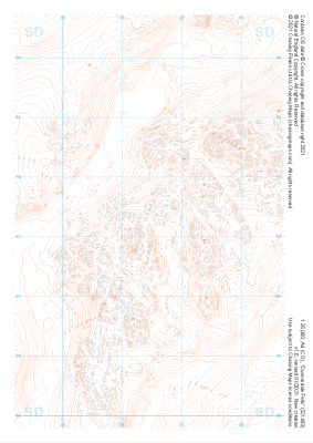
Our "Landform" maps show you the contours with some rocky detail thrown in. This map is particularly suited to navigating by contours in mountaineous areas where cliffs and rocky outcrops can present serious hazards. Alongside 5m or 10m contours and rocky features, the map features tidal lines (effectively the 0m contour), height labels and a national grid overlay to aid the use of bearings and grid references.
Landform
-
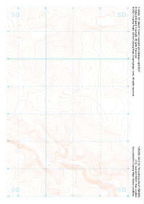 "Worsthorne Moor" Landform£4.99
1:25,000 scale map covering Worsthorne Moor in the Midlands (approx. center SD908284).
Learn More -
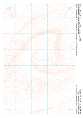 "Pendle Hill" Landform£4.99
1:25,000 scale map covering Pendle Hill in the Midlands (approx. center SD795404).
Learn More -
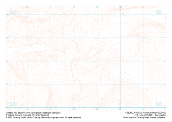
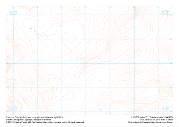 "Sowland Moor" Landform£4.99
1:25,000 scale map covering Sowland Moor in the Midlands (approx. center SD982201).
Learn More -
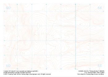 "Rishworth Moor" Landform£4.99
1:25,000 scale map covering Rishworth Moor in the Midlands (approx. center SD985163).
Learn More -
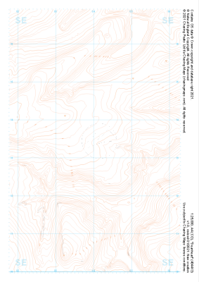 "Deanhead" Landform£4.99
1:25,000 scale map covering Deanhead in the Midlands (approx. center SE040134).
Learn More -
 "Denshaw Moor" Landform£4.99
1:25,000 scale map covering Denshaw Moor in the Midlands (approx. center SD985121).
Learn More -
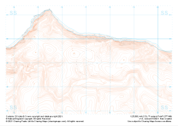 "Foreland Point" Landform£4.99
1:25,000 scale map covering Foreland Point in the South West (approx. center SS771491).
Learn More -
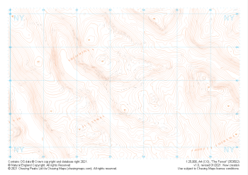 "The Forest" Landform£4.99
1:25,000 scale map covering The Forest in the Lake District (approx. center NY534029).
Learn More -
 "Dunnerdale Fells" Landform£4.99
1:25,000 scale map covering Dunnerdale Fells in the Lake District (approx. center SD214933).
Learn More -
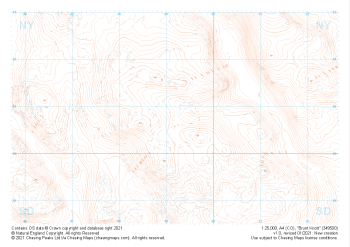 "Brunt Knott" Landform£4.99
1:25,000 scale map covering Brunt Knott in the Lake District (approx. center NY492008).
Learn More