Our "Landform" maps show you the contours with some rocky detail thrown in. This map is particularly suited to navigating by contours in mountaineous areas where cliffs and rocky outcrops can present serious hazards. Alongside 5m or 10m contours and rocky features, the map features tidal lines (effectively the 0m contour), height labels and a national grid overlay to aid the use of bearings and grid references.
Landform
-
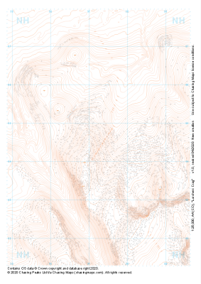 "Lurchers Crag" Landform£4.99
1:25,000 scale map covering Lurchers Crag in the Scottish Highlands (approx. center NH972045).
Learn More -
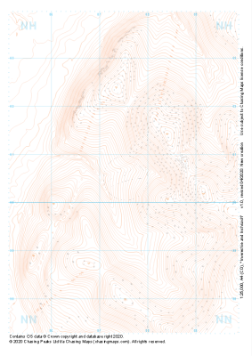 "Invereshie and Inshriach" Landform£4.99
1:25,000 scale map covering Invereshie and Inshriach in the Scottish Highlands (approx. center NH875005).
Learn More -
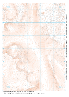 "Ben Macdui West" Landform£4.99
1:25,000 scale map covering Ben Macdui West in the Scottish Highlands (approx. center NN975980).
Learn More -
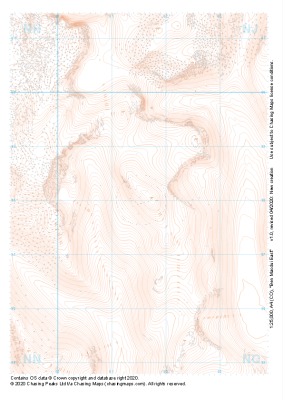 "Ben Macdui East" Landform£4.99
1:25,000 scale map covering Ben Macdui East in the Scottish Highlands (approx. center NO015980).
Learn More -
 "Cairngorm" Landform£4.99
1:25,000 scale map covering Cairngorm in the Scottish Highlands (approx. center NJ015045).
Learn More -
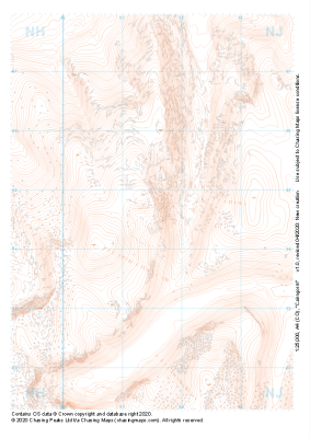
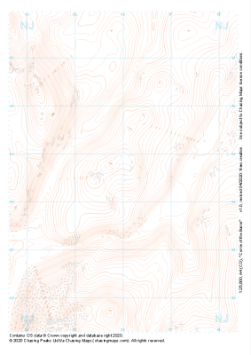 "Corrie of the Barns" Landform£4.99
1:25,000 scale map covering Corrie of the Barns in the Scottish Highlands (approx. center NJ060045).
Learn More -
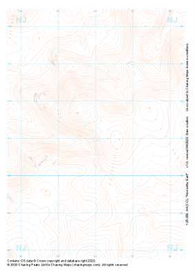 "Abornethy East" Landform£4.99
1:25,000 scale map covering Abornethy East in the Scottish Highlands (approx. center NJ060110).
Learn More -
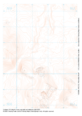 "Abornethy West" Landform£4.99
1:25,000 scale map covering Abornethy West in the Scottish Highlands (approx. center NJ015110).
Learn More -
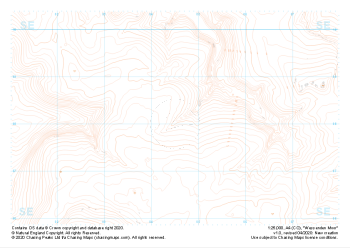 "Wessenden Moor" Landform£4.99
1:25,000 scale map covering Wessenden Moor in the Peak District (approx. center SE045080).
Learn More -
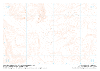 "Grains Moss" Landform£4.99
1:25,000 scale map covering Grains Moss in the Peak District (approx. center SE128025).
Learn More