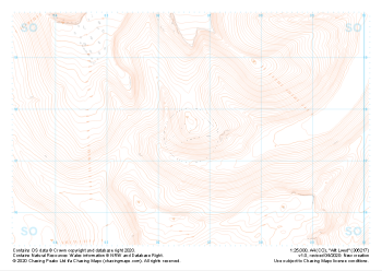
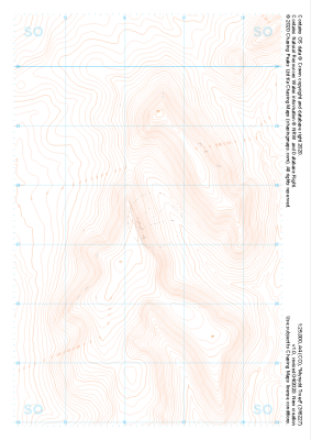
Our "Landform" maps show you the contours with some rocky detail thrown in. This map is particularly suited to navigating by contours in mountaineous areas where cliffs and rocky outcrops can present serious hazards. Alongside 5m or 10m contours and rocky features, the map features tidal lines (effectively the 0m contour), height labels and a national grid overlay to aid the use of bearings and grid references.
Landform
-
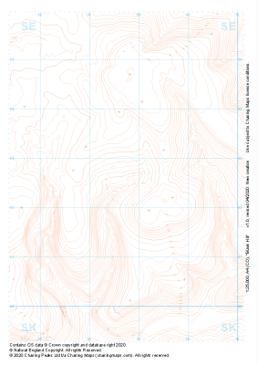 "Black Hill" Landform£4.99
1:25,000 scale map covering Black Hill in the Peak District (approx. center SE078025).
Learn More -
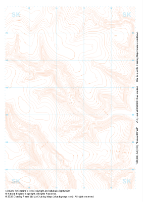 "Derwent West" Landform£4.99
1:25,000 scale map covering Derwent West in the Peak District (approx. center SK145935).
Learn More -
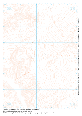 "Derwent Moors" Landform£4.99
1:25,000 scale map covering Derwent Moors in the Peak District (approx. center SK203900).
Learn More -
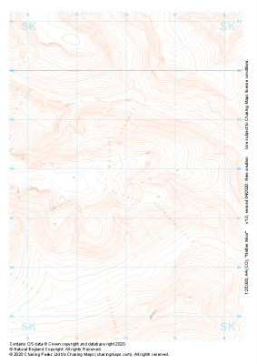 "Nether Moor" Landform£4.99
1:25,000 scale map covering Nether Moor in the Peak District (approx. center SK140877).
Learn More -
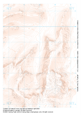 "Catbells" Landform£4.99
1:25,000 scale map covering Catbells in the Lake District (approx. center NY230180).
Learn More -
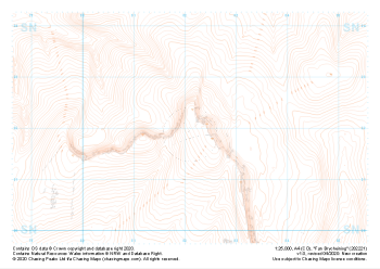 "Fan Brycheiniog" Landform£4.99
1:25,000 scale map covering Fan Brycheiniog in the South Wales (approx. center SN821219).
Learn More -
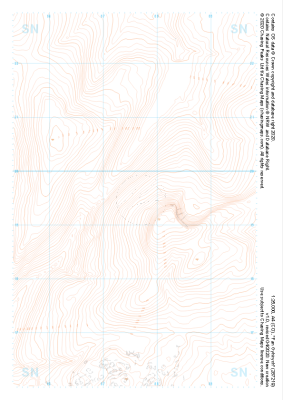 "Fan Gyhirych" Landform£4.99
1:25,000 scale map covering Fan Gyhirych in the South Wales (approx. center SN876193).
Learn More -
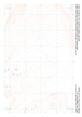 "Waun Tincer" Landform£4.99
1:25,000 scale map covering Waun Tincer in the South Wales (approx. center SN969151).
Learn More -
 "Allt Lwyd" Landform£4.99
1:25,000 scale map covering Allt Lwyd in the South Wales (approx. center SO066175).
Learn More -
 "Mynydd Troed" Landform£4.99
1:25,000 scale map covering Mynydd Troed in the South Wales (approx. center SO164273).
Learn More