Our "Landform" maps show you the contours with some rocky detail thrown in. This map is particularly suited to navigating by contours in mountaineous areas where cliffs and rocky outcrops can present serious hazards. Alongside 5m or 10m contours and rocky features, the map features tidal lines (effectively the 0m contour), height labels and a national grid overlay to aid the use of bearings and grid references.
Landform
-
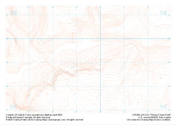 "Shining Clough North" Landform£4.99
1:25,000 scale map covering Shining Clough North in the Peak District (approx. center SK095990).
Learn More -
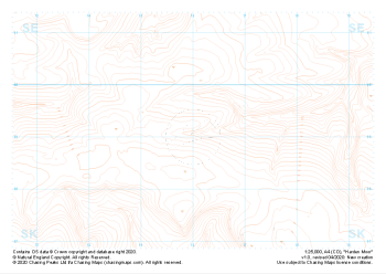 "Harden Moor" Landform£4.99
1:25,000 scale map covering Harden Moor in the Peak District (approx. center SK160990).
Learn More -
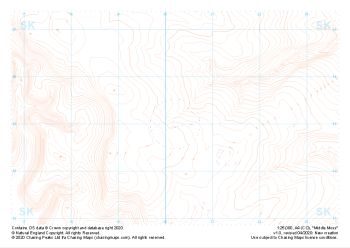 "Middle Moss" Landform£4.99
1:25,000 scale map covering Middle Moss in the Peak District (approx. center SK202950).
Learn More -
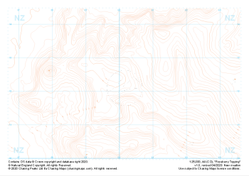 "Roseberry Topping" Landform£4.99
1:25,000 scale map covering Roseberry Topping in the Yorkshire Dales (approx. center NZ602121).
Learn More -
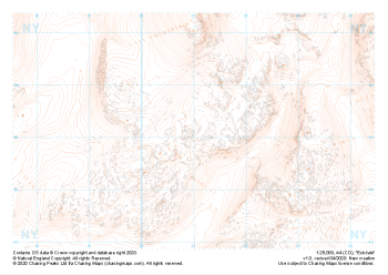 "Eskdale" Landform£4.99
1:25,000 scale map covering Eskdale in the Lake District (approx. center NY210030).
Thank you to Chris Ensoll Mountain Guide for sponsoring our maps of this area for the wider outdoor community. Learn More -
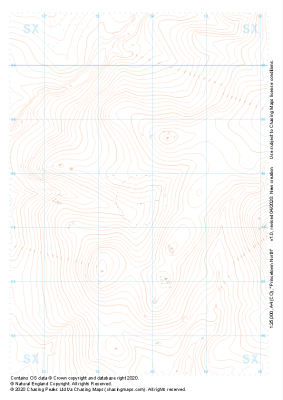 "Princetown North" Landform£4.99
1:25,000 scale map covering Princetown North in the Dartmoor (approx. center SX538775).
Learn More -
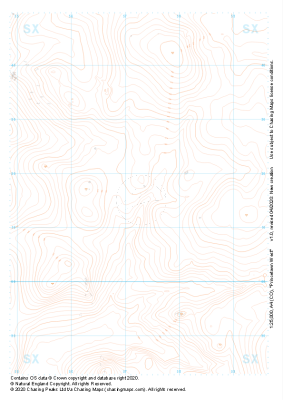 "Princetown West" Landform£4.99
1:25,000 scale map covering Princetown West in the Dartmoor (approx. center SX573715).
Learn More -
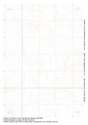 "Princetown East" Landform£4.99
1:25,000 scale map covering Princetown East in the Dartmoor (approx. center SX613715).
Learn More -
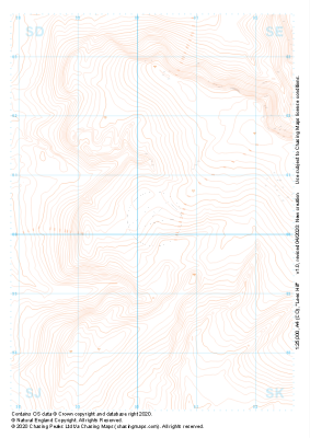 "Lees Hill" Landform£4.99
1:25,000 scale map covering Lees Hill in the Peak District (approx. center SE003003).
Learn More -
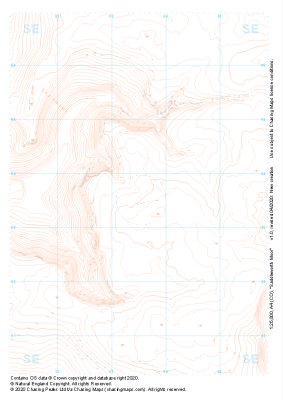 "Saddleworth Moor" Landform£4.99
1:25,000 scale map covering Saddleworth Moor in the Peak District (approx. center SE035035).
Learn More
