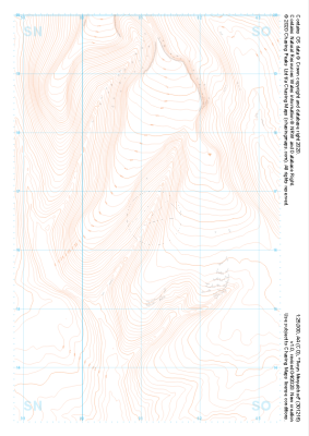
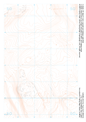
Our "Landform" maps show you the contours with some rocky detail thrown in. This map is particularly suited to navigating by contours in mountaineous areas where cliffs and rocky outcrops can present serious hazards. Alongside 5m or 10m contours and rocky features, the map features tidal lines (effectively the 0m contour), height labels and a national grid overlay to aid the use of bearings and grid references.
Landform
-
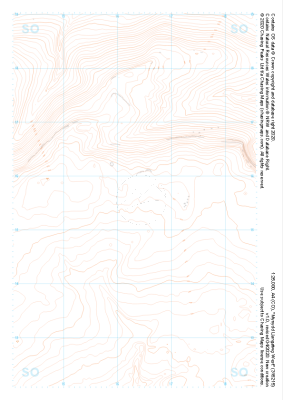 "Mynydd Llangatwg West" Landform£4.99
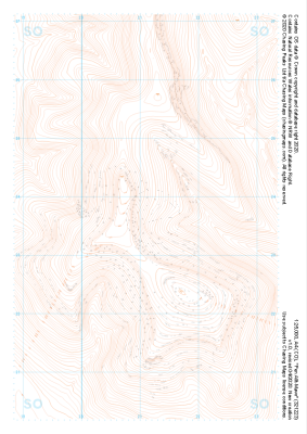
1:25,000 scale map covering Mynydd Llangatwg West in the South Wales (approx. center SO163154).
Learn More -
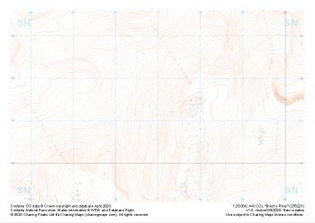 "Brest y Rhos" Landform£4.99
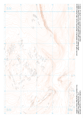
1:25,000 scale map covering Brest y Rhos in the South Wales (approx. center SN770212).
Learn More -
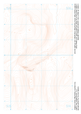 "Fan Nedd" Landform£4.99
1:25,000 scale map covering Fan Nedd in the South Wales (approx. center SN918198).
Learn More -
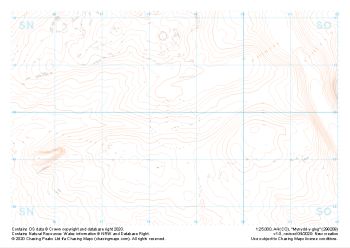 "Mynydd-y-glog" Landform£4.99
1:25,000 scale map covering Mynydd-y-glog in the South Wales (approx. center SN985098).
Learn More -
 "Pen Allt-Mawr" Landform£4.99
1:25,000 scale map covering Pen Allt-Mawr in the South Wales (approx. center SO211235).
Learn More -
 "Vale of Ewyas" Landform£4.99
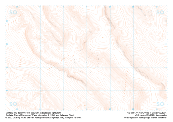
1:25,000 scale map covering Vale of Ewyas in the South Wales (approx. center SO260313).
Learn More -
 "Sugar Loaf" Landform£4.99
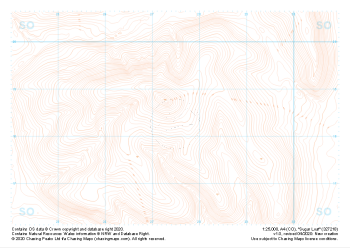
1:25,000 scale map covering Sugar Loaf in the South Wales (approx. center SO275183).
Learn More -
 "Cribarth" Landform£4.99
1:25,000 scale map covering Cribarth in the South Wales (approx. center SN832169).
Learn More -
 "Twyn Mwyalchod" Landform£4.99
1:25,000 scale map covering Twyn Mwyalchod in the South Wales (approx. center SO011164).
Learn More -
 "Garn Ddu" Landform£4.99
1:25,000 scale map covering Garn Ddu in the South Wales (approx. center SO034121).
Learn More