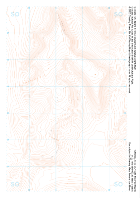
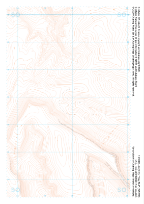
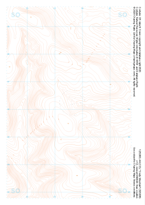
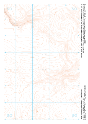
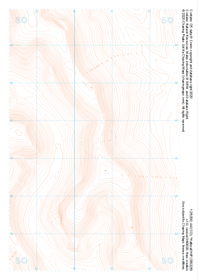
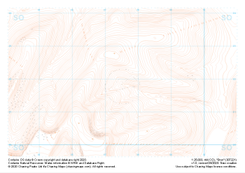
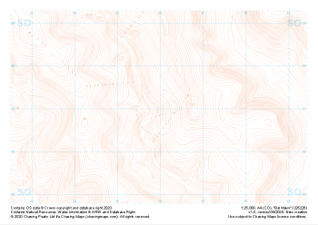
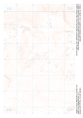
Our "Landform" maps show you the contours with some rocky detail thrown in. This map is particularly suited to navigating by contours in mountaineous areas where cliffs and rocky outcrops can present serious hazards. Alongside 5m or 10m contours and rocky features, the map features tidal lines (effectively the 0m contour), height labels and a national grid overlay to aid the use of bearings and grid references.
Landform
-
 "Cefn Moel" Landform£4.99
1:25,000 scale map covering Cefn Moel in the South Wales (approx. center SO164244).
Learn More -
 "Hay Bluff" Landform£4.99
1:25,000 scale map covering Hay Bluff in the South Wales (approx. center SO259367).
Learn More -
 "Coety Mountain" Landform£4.99
1:25,000 scale map covering Coety Mountain in the South Wales (approx. center SO235061).
Learn More -
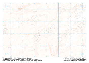 "Tair Carn Uchaf" Landform£4.99
1:25,000 scale map covering Tair Carn Uchaf in the South Wales (approx. center SN688172).
Learn More -
 "Mynydd Llangatwg East" Landform£4.99
1:25,000 scale map covering Mynydd Llangatwg East in the South Wales (approx. center SO206133).
Learn More -
 "Hatterall Hill" Landform£4.99
1:25,000 scale map covering Hatterall Hill in the South Wales (approx. center SO305264).
Learn More -
 "Bryn" Landform£4.99
1:25,000 scale map covering Bryn in the South Wales (approx. center SO075218).
Learn More -
 "Bal Mawr" Landform£4.99
1:25,000 scale map covering Bal Mawr in the South Wales (approx. center SO260269).
Learn More -
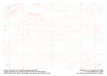 "The Begwns" Landform£4.99
1:25,000 scale map covering The Begwns in the South Wales (approx. center SO161441).
Learn More -
 "Garreg Lwyd" Landform£4.99
1:25,000 scale map covering Garreg Lwyd in the South Wales (approx. center SN744169).
Learn More