Our "Landform" maps show you the contours with some rocky detail thrown in. This map is particularly suited to navigating by contours in mountaineous areas where cliffs and rocky outcrops can present serious hazards. Alongside 5m or 10m contours and rocky features, the map features tidal lines (effectively the 0m contour), height labels and a national grid overlay to aid the use of bearings and grid references.
Landform
-
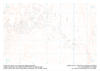 "Ogof Ffynnon Ddu Reserve" Landform£4.99
1:25,000 scale map covering Ogof Ffynnon Ddu Reserve in the South Wales (approx. center SN882144).
Learn More -
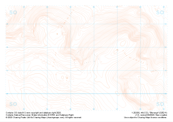 "Blorenge" Landform£4.99
1:25,000 scale map covering Blorenge in the South Wales (approx. center SO257114).
Learn More -
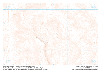 "Waun Fach" Landform£4.99
1:25,000 scale map covering Waun Fach in the South Wales (approx. center SO217281).
Learn More -
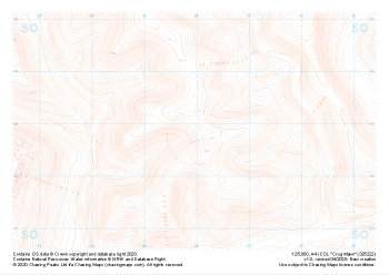 "Crug Mawr" Landform£4.99
1:25,000 scale map covering Crug Mawr in the South Wales (approx. center SO260227).
Learn More -
 "Mynydd Myddfai" Landform£4.99
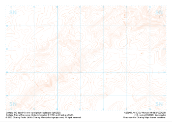
1:25,000 scale map covering Mynydd Myddfai in the South Wales (approx. center SN812305).
Learn More -
 "Tyle Garw" Landform£4.99
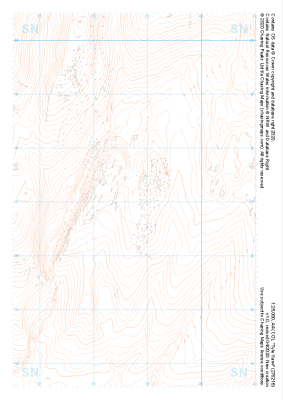
1:25,000 scale map covering Tyle Garw in the South Wales (approx. center SN788169).
Learn More -
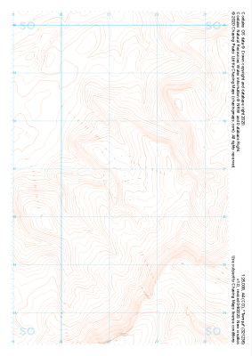
 "Rhos Dringarth" Landform£4.99
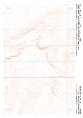
1:25,000 scale map covering Rhos Dringarth in the South Wales (approx. center SN962210).
Learn More -
 "Cefn yr Ystrad" Landform£4.99
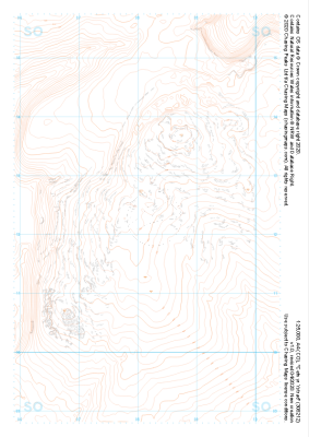
1:25,000 scale map covering Cefn yr Ystrad in the South Wales (approx. center SO082121).
Learn More -
 "Twmpa" Landform£4.99
1:25,000 scale map covering Twmpa in the South Wales (approx. center SO212367).
Learn More -
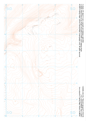 "Mynydd Llangynidr" Landform£4.99
1:25,000 scale map covering Mynydd Llangynidr in the South Wales (approx. center SO121143).
Learn More