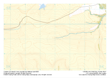
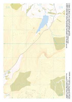
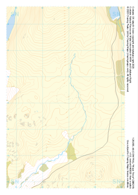
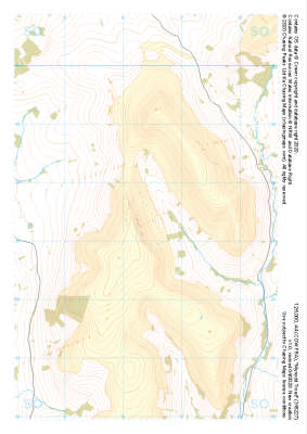
Our "Major Hazards" map contains the "full works" of features we have identified as suitable to put land forms into context. Showing you contours at 5m or 10m intervals, rocky features, major streams, woodland, major roads and railway lines, this map removes a lot of the "distracting clutter" found on more detailed maps. While we always recommend carrying a standard walking map as backup, this series is a perfect introduction to navigation by natural features.
Major Hazards
-
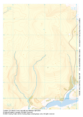 "Black Hill" Major Hazards£4.99
1:25,000 scale map covering Black Hill in the Peak District (approx. center SE078025).
Learn More -
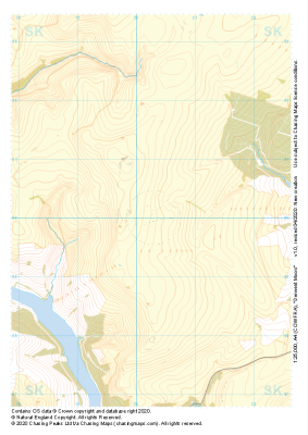 "Derwent Moors" Major Hazards£4.99
1:25,000 scale map covering Derwent Moors in the Peak District (approx. center SK203900).
Learn More -
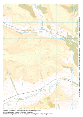 "Nether Moor" Major Hazards£4.99
1:25,000 scale map covering Nether Moor in the Peak District (approx. center SK140877).
Learn More -
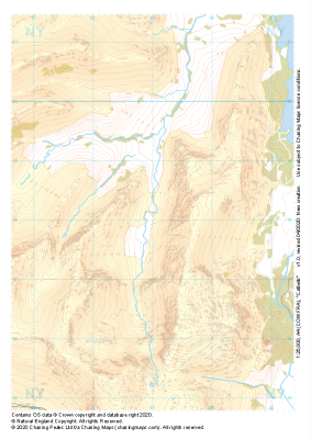 "Catbells" Major Hazards£4.99
1:25,000 scale map covering Catbells in the Lake District (approx. center NY230180).
Learn More -
 "Harden Moor" Major Hazards£4.99
1:25,000 scale map covering Harden Moor in the Peak District (approx. center SK160990).
Learn More -
 "Fan Gyhirych" Major Hazards£4.99
1:25,000 scale map covering Fan Gyhirych in the South Wales (approx. center SN876193).
Learn More -
 "Waun Tincer" Major Hazards£4.99
1:25,000 scale map covering Waun Tincer in the South Wales (approx. center SN969151).
Learn More -
 "Mynydd Troed" Major Hazards£4.99
1:25,000 scale map covering Mynydd Troed in the South Wales (approx. center SO164273).
Learn More -
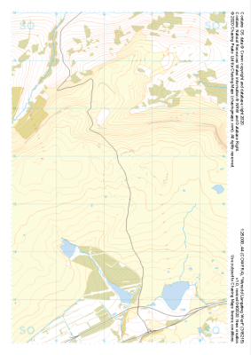 "Mynydd Llangatwg West" Major Hazards£4.99
1:25,000 scale map covering Mynydd Llangatwg West in the South Wales (approx. center SO163154).
Learn More -
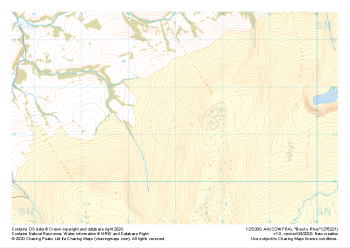 "Brest y Rhos" Major Hazards£4.99
1:25,000 scale map covering Brest y Rhos in the South Wales (approx. center SN770212).
Learn More